Editor’s note: This story is part of a collaboration with NowKalamazoo. Please see this LINK for a partner story and additional traffic data.
KALAMAZOO, MI — Ask Thomas Kostrzewa, a Western Michigan University professor and world traveler who’s spent time in 92 countries, what it’s like living near West Main, and he’ll start talking about a Peruvian river, of course.
“It’s the River of Death,” Kostrzewa says.
That’s another name for “the Urubamba River, which is at the base of Machu Picchu… ‘River of Death’ means you put a toe in it, and you just get sucked away and never come back again.”
His personal River of Death is West Main, particularly the four-lane stretch he’s lived near since 1983.
MDOT, however, calls West Main a trunkline.
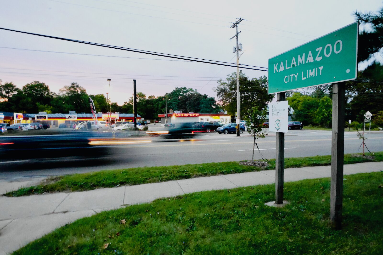
Over 800 people have signed a petition to request traffic calming on West Main.
It’s part of the state highway M-43, stretching from Kalamazoo to South Haven. For drivers who don’t want to go south to Stadium Drive or north to the business loop connection, it’s their preferred route to 131. From the freeway to the Popeye’s, it’s a large mall-and-franchise-dominated commercial street. East of Solon Street and North Kendall Avenue, the connections with Howard and Nichols, it becomes mostly residential with some businesses.
Heading east down the hill, past Mountain Home Cemetery, MDOT’s road is on a collision course with the City of Kalamazoo’s traffic-calming.
It’s a clash of two traffic management philosophies. 1: Roads should maximize vehicular throughput. 2: City streets should be safe for all users, drivers to pedestrians.
Changes to come
The City of Kalamazoo took over jurisdiction for a small section of West Main, as part of its “Streets For All” reconfiguration. There will be major changes to West Main as it enters Downtown, starting with the Douglas/West Main intersection. What are now freeway-like ramp connections with no stops will be replaced by a normal “T” intersection. There will be a regular traffic signal with enhanced crosswalks and other safety features. It’ll be the gateway to downtown’s coming two-way reconfiguration of streets.
“The nature of that piece of street will really be different,” says Dennis Randolph, Public Works Manager and traffic engineer for the city. “It is really hard, I know, for people to appreciate how different it’s going to be.”
But west of Douglas, MDOT is still in charge of its trunkline.
The Petition
A recent and ongoing petition calls on “MDOT, the City of Kalamazoo, and the Township of Kalamazoo to work together to reconfigure West Main Street (Solon/Kendall to Douglas) to 3 lanes, aligning with the Kalamazoo Avenue redesign slated for 2025.” It has 810 signatures as of Dec. 18.
Nathan Browning, Kalamazoo Complete Streets Advisory Committee member and new-urbanism advocate, launched the petition in September.
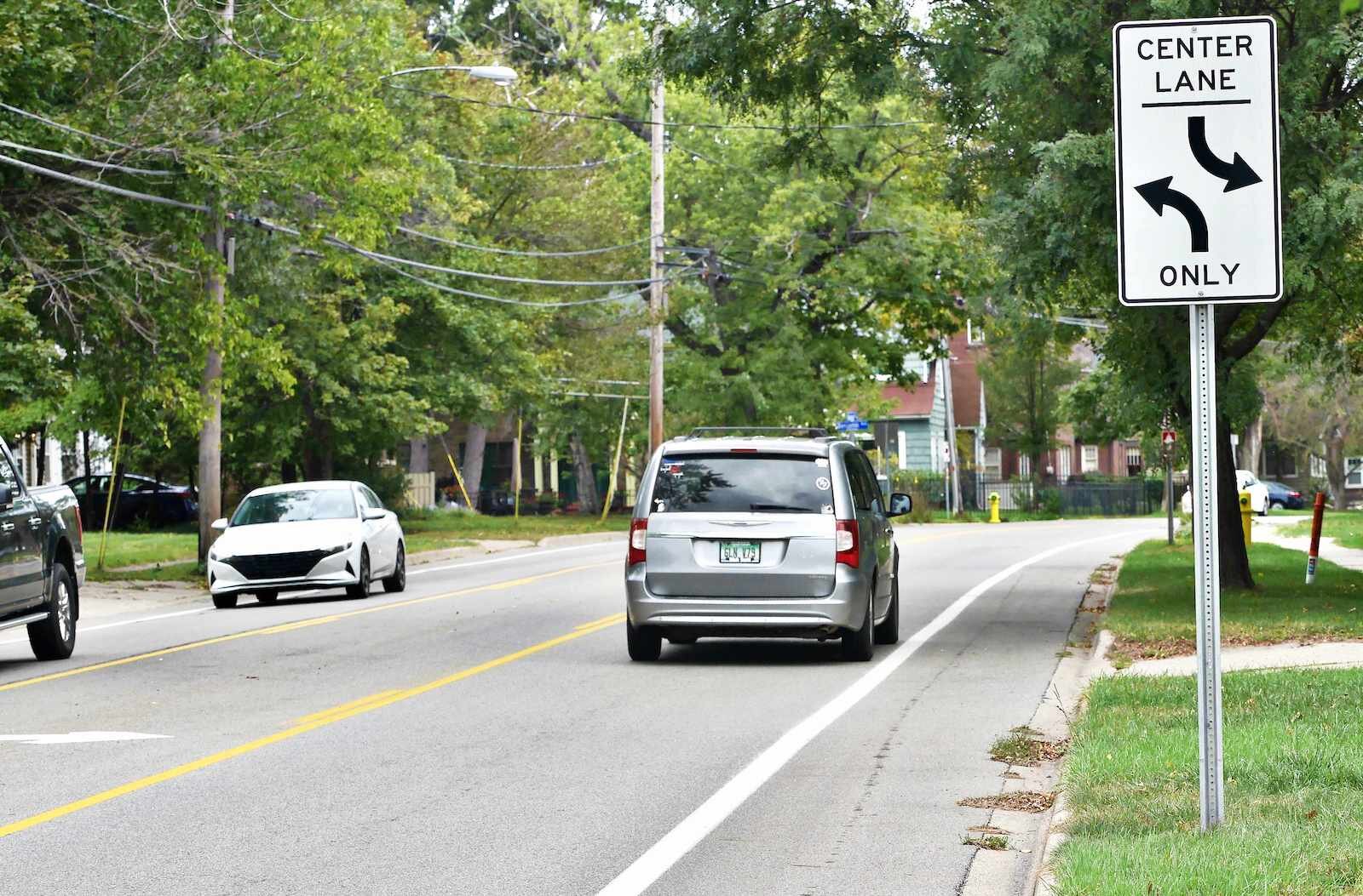
A view of Oakland Avenue’s three lanes which some residents want for West Main as part of a ‘road diet.’
Its remedy is to reconfigure West Main to two travel lanes, a center turn lane, and bike lanes along the side, from Solon/Kendal to where the City controls the road.
Browning points out in the petition that according to the Federal Highway Administration, such a change can be implemented quickly, and is proven to reduce speeds and crashes.
He uses Oakland Drive from Howard to Parkview as an example of a segment with a lot of traffic (according to data Browning has found, that segment of Oakland sees 17,214 vehicles a day, and the segment of West Main the petition is looking at sees 17,188-19,418 a day), that’s in the three-lane configuration. He’s found data showing that Oakland sees 56 crashes resulting in injury per 100 million vehicle miles traveled (a common traffic engineering measurement), whereas, in comparison, West Main sees 301 crashes with injuries.
The petition has seven endorsements from Kalamazoo City, County, and Township leaders. Three West Main businesses have endorsed it including Five Lakes Coffee, which saw a car fly into its front window in January 2024, and UncLee’s Barber Shop, where one barber had his car totaled when pulling into the shop.
MDOT is in charge of the road at the moment, Browning acknowledges to Second Wave. That’s “the main stonewall right now,” he says.
The State Department of Transportation has “a checklist that they sent me that basically shows all the steps that you’d have to go through,” says Browning. “And the first item is a resolution from the city commission or the township commission, whatever commission locally elected, saying that they want a road diet.”
Browning feels that “based on the people that I’ve talked to, elected officials that have endorsed and that I’ve spoken with, there is an appetite for that.”
Speeding through a neighborhood
Browning, a Kalamazoo resident for the past 10 years, learned that there’s been talk of slowing West Main “for decades, actually.”
Kostrzewa lives on Prospect Street, on the west side of Mountain Home Cemetery. Just west of Prospect, West Main begins a downhill run toward the City of Kalamazoo. There’s a bit of a curve near the top of the hill, making oncoming traffic beyond about 100 yards from Prospect not visible.
If one’s turning left from Prospect, that shouldn’t be too much of an issue, if people are driving the speed limit of 35 mph.
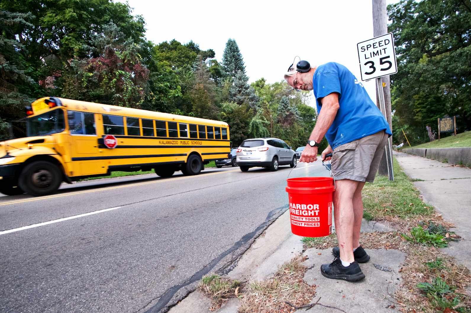
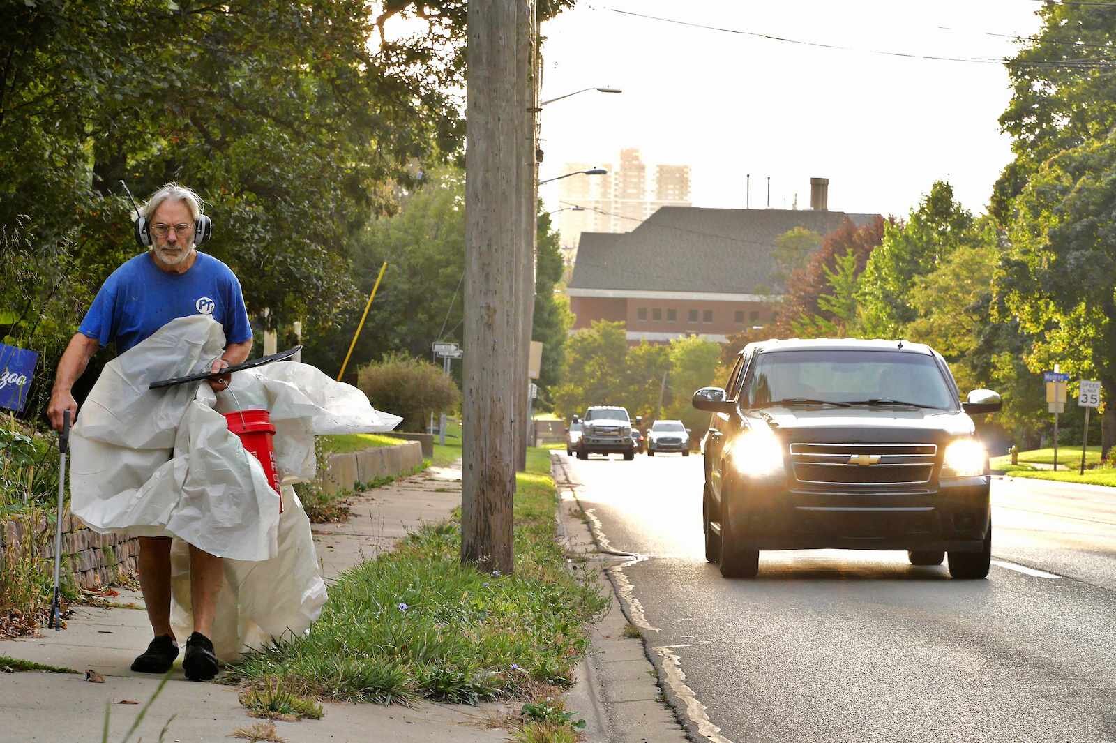
Thomas Kostrzewa, a Western Michigan University professor who lives on Prospect takes regular litter-collecting treks along West Main.
But they’re not.
“There are some quiet moments. But mostly, if you go the speed limit here, you will find everybody passing you, including that big truck there.”
Kostrzewa points at a large dump truck roaring up the hill, in an apparent hurry to get out of the city. “There’s 45 miles per hour right there.”
Turning right onto the road is also a bit dicey. Looking to the east from Prospect, it’s difficult to see around homes and vegetation, because it is a neighborhood, where people live.
Further that way, down the hill, there’s another slight curve. It’s one that shouldn’t be too much of a problem to navigate if, again, one’s driving at a reasonable speed. But neighbors living where Grand Avenue joins West Main have had drivers hit the curve at the peninsula of grass known as Henderson Park, then launch over Grand to crash into a rock garden, their impacts causing boulders to fly about 50 feet into other neighbors’ yards. More about that, later.
Kostrzewa often picks up litter from his stretch of West Main. One early morning while “on litter patrol” with a neighbor, “we had a car coming at us right on the sidewalk. And some young kid is texting, and he’s driving on the sidewalk, and we leap out of the way. So when we say River of Death, you know, it’s only half kidding.”
One landlord’s Prospect
Over the decades, Kostrzewa purchased many of the houses on his block, which he then rented out. Some that sit directly on West Main needed their driveways converted to allow turn-arounds. At some point in Kalamazoo’s distant history, people living there could be expected to back out onto West Main.
Prospect crosses and continues, in a way, on the opposite side of West Main. One can enter but not exit the south side — Prospect on that side of West Main was changed from two-way to one-way because it was far too dangerous to turn out onto the road, he points out.
He casually mentions that he also commutes by bicycle to Western’s campus, even though around eight years ago, near Tiffany’s, “I got hit really hard… Helmet on, lights on, (hi-vis) vest on, and I got smacked and went flying.”
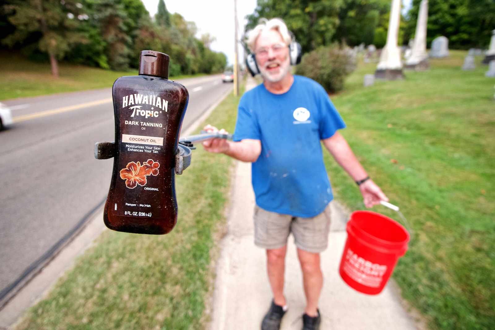
Thomas Kostrzewa, a Western Michigan University professor who lives on Prospect takes regular litter-collecting treks along West Main.
Kostrzewa thinks the best remedy would be, “Strict enforcement, 36 miles-an-hour gets you a ticket.” He’d like automatic ticketing traffic cameras that’d send speeders a fine in the mail. (Note: City of Kalamazoo’s Public Services Director James Baker says, “Speed traffic cameras that issue tickets are not legal under Michigan law.”)
Not everyone agrees with reconfiguring the street in the manner the petition suggests.
“I know, Nathan Browning’s got his three-lane movement going on. I don’t know if I’m a fan of that,” he says. “I’m a fan of slow-it-all-down.”
Kostrzewa feels that increased traffic policing, making the area a “strict enforcement zone,” would be a cheaper method of slowing drivers to the speed limit.
Whatever the method used, he says, West Main can’t stay the way it is. “Do we leave it alone? Not from my standpoint.”
Trunkline vs. city street
The basic theory behind traffic calming is this: Infrastructure that drivers are traveling on can encourage, or discourage, speeding. Multi-lane roads with wide lanes seem built for speed, so drivers speed. Two-way, two-lane traffic on narrower lanes causes drivers to be more careful.
“We are interested in having reasonable speeds on our streets, safe speeds. And we’ll use a lot of traffic control devices to help manage those speeds,” City of Kalamazoo Traffic Engineer Dennis Randolph says.
According to data recently released by the city, over 2024 there’s been a 23% decrease in crashes in the city. In 2023, the decrease was 13%. Crashes in Kalamazoo are also 17% lower than the rest of Michigan.
Randolph says fewer crashes result from new traffic-calming infrastructure, so there’s no stopping the City’s efforts to change the streets.
“You know what the trade-off is, right? People say, ‘Well, you’re slowing me down.'” Randolph acknowledges drivers’ annoyance. “But what we’re really trying to do, again, is to prevent crashes, and that’s working. It’s working pretty good.”
Randolph estimates that there have been “around a hundred people we’ve kept out of the hospital so far this year because of the crash reduction. I think if people understood that it’s their family members or friends or someone that isn’t going to get hurt, that’s the real bottom line of what we’ve got going here.”
Segueing to downtown street changes
Eventually, West Main east of Douglas will be two-way, to connect with the coming two-way Michigan Avenue. Construction in that area should start in the spring of 2025.
With a regular intersection and traffic signal at Douglas, there’ll be “none of this stuff, (like drivers) coming around the curve as fast as you can go, and step on the accelerator” to race into the downtown and jockey for position on one of the many lanes.
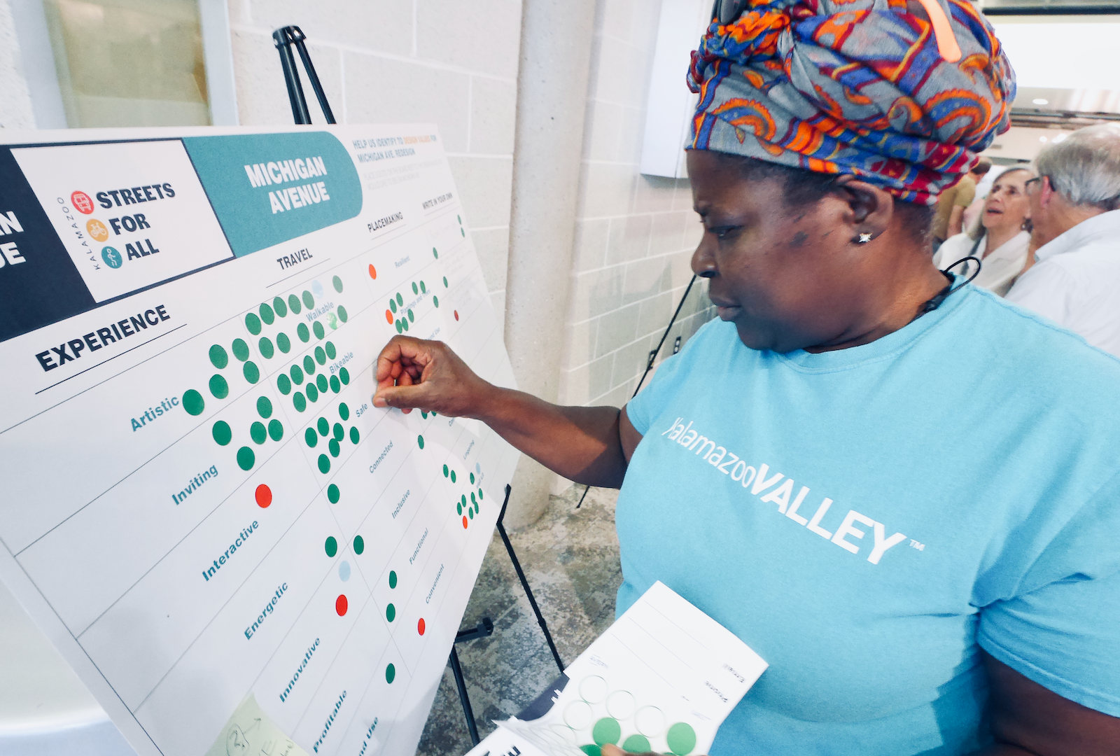
The City of Kalamazoo hosts regular community input sessions on city streets, including West Main.
“There won’t be four lanes of traffic for people to just bob and weave all over the place, which again, is one of the real problems that we had on Kalamazoo (Avenue) and Michigan (Avenue),” Randolph says.
There will be pedestrian crossings at the intersection with “enhanced lighting” including rapid-flashing pedestrian-crossing lights and lighting that illuminates the crosswalk and person crossing, he says.
But what about west of Douglas?
“All the way out to Drake and even further out to the expressway, it’s still trunk line. It’s still the state highway department. And we can’t change that piece of road. It’s their road. And that — that’s a problem,” he says.
Drivers will be slowed by the new intersection at Douglas, but they’ll be driving towards it from the west with the same mindset that causes speeding, he says. Much of the traffic is “people who just want to drive through town to go from one side to the other. And they don’t care about anything else in between. They go as fast as they can, and just have no respect for the folks who live there, the residents, the businesses, anything.”

Dennis Randolph, Traffic Engineer for the City of Kalamazoo
It shouldn’t be surprising that people want to get through Kalamazoo without slowing or stopping, Randolph says. He understands. “For years they were taught that this was the way to go because they (West Main, Kalamazoo Avenue, and Michigan Avenue) were trunklines.”
MDOT could do something about it — for example, the department could put more traffic signals at West Main intersections “to manage progression on the street.” Randolph says.
The Federal Highway Administration’s Manual on Uniform Traffic Control Devices allows such a use of signals on a road like West Main, he says, but, “that’s not something the highway department has ever been comfortable doing.”
It’s a possibility that the City could take over more of West Main from MDOT, but Randolph is careful to only say, generally, “there’s talk about” that. “I can’t speak for the (Kalamazoo City) Commission, certainly.”
It’s not just a City issue. Portions of West Main are in Kalamazoo Township. Both City and Township would have to work together on the issue, Randolph says. However, “That’s not a deal breaker at all,” he says.
“I, as a traffic engineer, would think that it’s a real good option to look at,” Randolph says about taking control of the West Main segment from MDOT.
Political will?
Would the political will be there for the City, Township, and County to team up on calming West Main?
County commissioners Jen Strebs and Tami Rey, City commissioners Chris Praedel, Don Cooney and Alonzo Wilson, Vice Mayor Jeanne Hess, and Township Trustee Ashley Glass have endorsed Browning’s petition.
It should be noted that some officials are directly impacted by the road. Kostrzewa says that one of his litter-picking neighbors is Mayor David Anderson.

Craig Sherwood, who won the position of Kalamazoo Township Trustee in November, lives in the Westwood Neighborhood on Wealthy Street, off of West Main. It’s a quiet, tree-lined street, but when one of the many collisions on West Main block the road, traffic tends to detour past his family’s home.
The nearby intersection of Fletcher Avenue and the intersection at Dartmouth Street (at a bend where the car collided with Five Lakes Coffee in January) are “where collisions occur on a fairly regular basis. When these collisions take place, all of West Main traffic is diverted into our neighborhood while first responders attend to the injured and remove the crashed vehicles,” Sherwood writes Second Wave in an email.
Neighborhood detours
“The result is a stream of frustrated and disoriented drivers flowing down our narrow streets, often becoming temporarily trapped in the maze of our neighborhood, only adding to their understandable agitation, creating what can often be a very dangerous environment for the locals,” Sherwood writes.
Sherwood has young children. He bikes, and his wife is a runner. “Even when West Main is flowing freely, we avoid it and have taught our children to do the same because of the vehicle speeds and the reckless driving which often results from cars attempting to weave between the two lanes going each direction.”
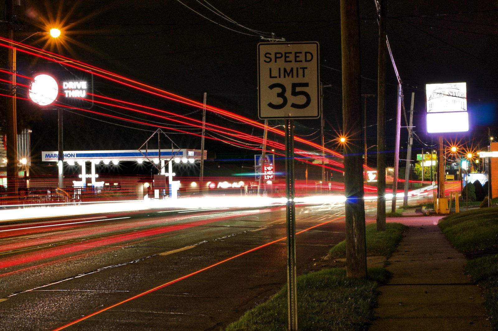
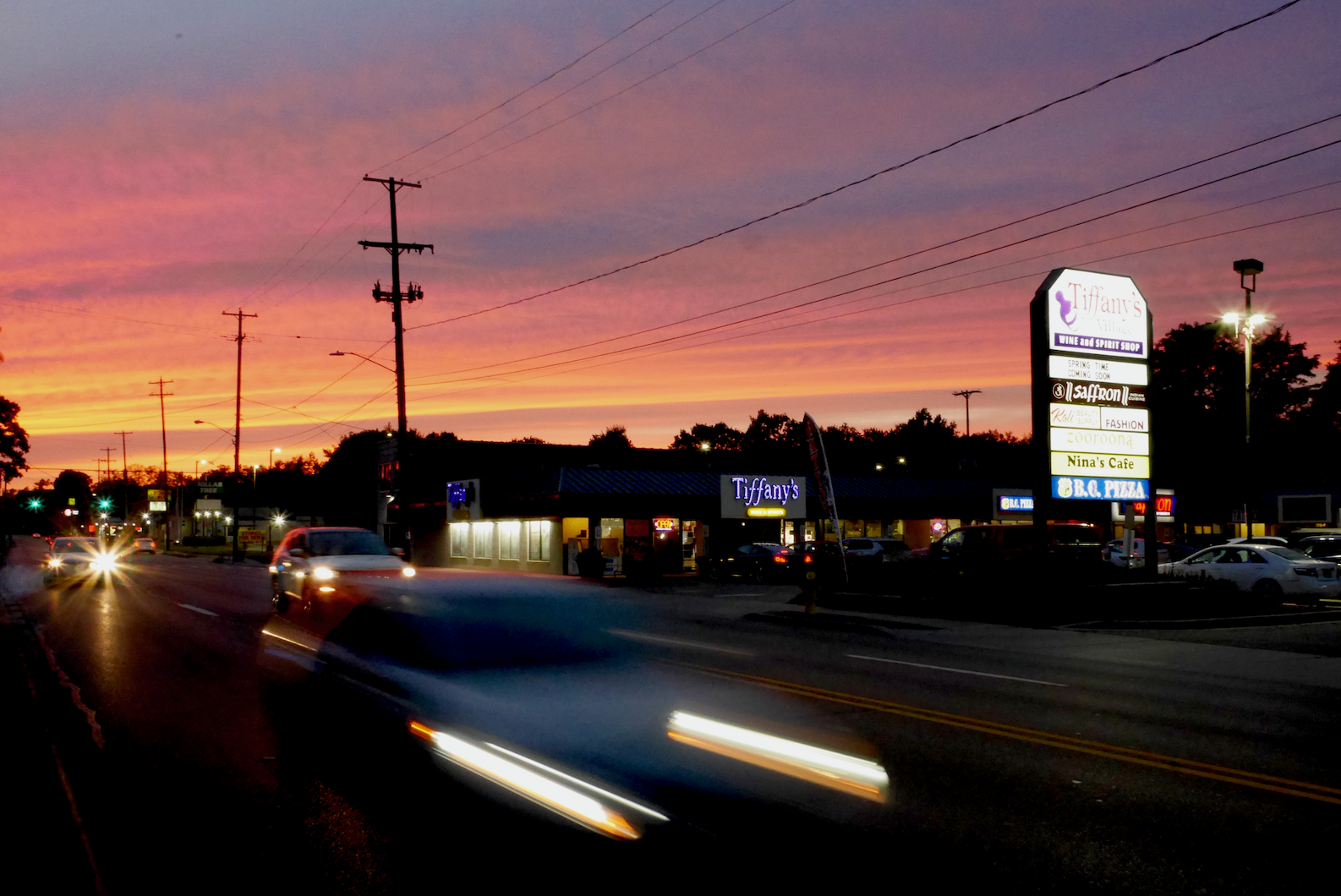
An extended exposure shot of nighttime traffic along West Main
Currently, on the four-lane West Main, drivers who stop to make a left turn become obstacles for drivers using that lane to speed past traffic in the right lane. That leads to many of the collisions, Sherwood thinks.
“The lack of a center turn lane leads to this common weaving and also leads to a lot of rear-end collisions. Turning left during rush hour can be a daunting endeavor. “
A center turn lane would help stop much of the weaving, and keep turning vehicles out of the way of traffic flow, he says.
Sherwood adds that he’d like drivers to understand that people live along West Main. “Many of the drivers who move through the West Main corridor are just trying to get somewhere which is understandable, but I suspect they often do not realize it is also a busy neighborhood full of residents and businesses who would appreciate a little more consideration.”
Sherwood, since he had yet to be sworn in as a township trustee, couldn’t say for certain about the board’s political will for change. But, “I can say there is broad support within my neighborhood for a safer West Main.”
“I think many folks have a strong wish for a safer street, but not as many have a clear solution at hand. However, in conversations with my friends and neighbors, most folks have been receptive to the road diet solution being put forward once it is explained to them.
“The reasoning is easy to grasp, and successfully working real-world examples are easy to come by in Kalamazoo (one example being Oakland),” he writes. “I suspect that if the residents do support something like this, the local government who represents them will do so as well.”
It’s complicated
If Randolph could reconfigure the road west of Douglas, how would he do it? Would, as the petition calls for, two travel lanes, with a center turn lane, work?
“The problem is, how much traffic might be out on the street,” he says.
Randolph has current traffic volume data showing 25,000 to 30,000 vehicles a day between Drake and Solon/Nichols, a section west of where Browning’s petition is calling for change. “A lane in each direction isn’t enough for that traffic, okay?”
Between Solon/Nichols and Douglas, the section the petition is looking at, “we’re talking 20,000 to 25,000 cars a day,” he says.
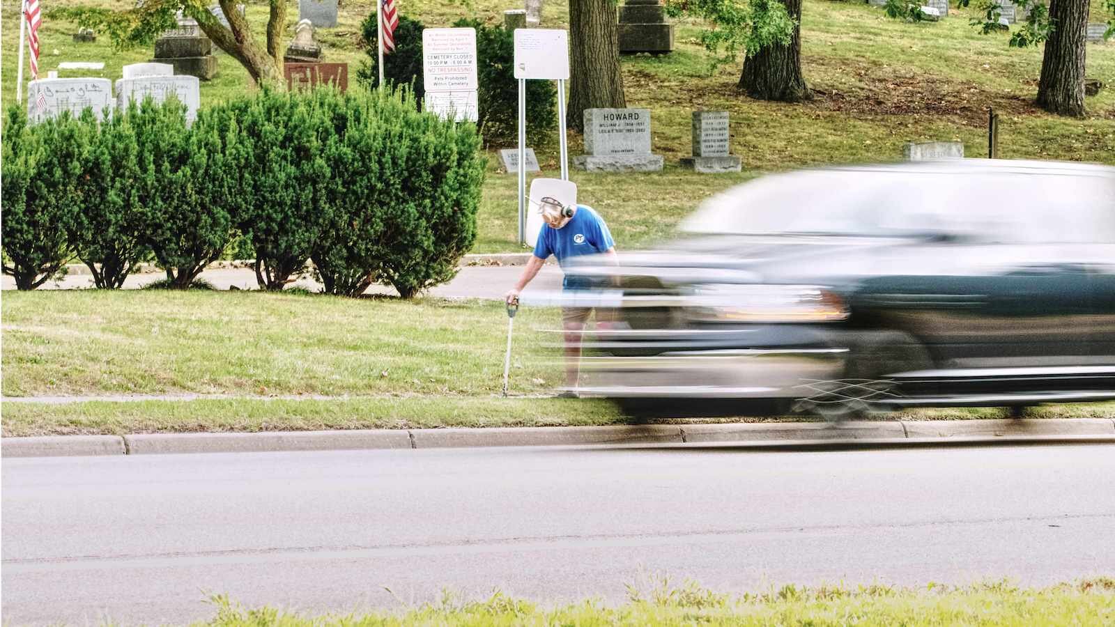
Thomas Kostrzewa, a Western Michigan University professor who lives on Prospect takes regular litter-collecting treks along West Main.
That’s lower, but in his experience, Randolph would prefer numbers down to “18,000 or 17,000 cars a day to get to reasonable travel” on a three-lane road.
“Potentially, it would work,” he says. But “that’s today’s traffic.” Traffic patterns are likely to shift once downtown’s two-way configurations are done. Plus, there’s the coming downtown event center. “We can make some good estimates, OK? But we won’t know until the first hockey game what’s going to happen out there.”
Though the Douglas intersection and the portion of West Main that the city does control will see changes, such as two-way traffic, West Main into downtown will still have to be four lanes, Randolph says.
He thinks, “If they were able to make a three-lane section, say, from west of Douglas somewhere out to Nichols, that would have enough of a calming effect on the entire street that it would help the piece downtown.”
Randolph notes that the petition compares West Main to a three-lane portion of Oakland Drive. Before comparing, one needs to look at “side friction,” he says.
The environment along a road can influence drivers to speed or slow. Oakland is mostly residential. “That affects speeds,” he says. People tend to slow when driving by homes and front yards. West Main has some residential, and “a lot of commercial… the nature of the street is really different.”
A rock garden’s plight
The Milnes’ rock garden has the worst of luck.
Claire and Rob Milne were up late, on Aug. 20, when they heard a crash.
“We’re so used to being listeners. I heard the crash and I called 911 without even looking at it,” Claire Milne says.
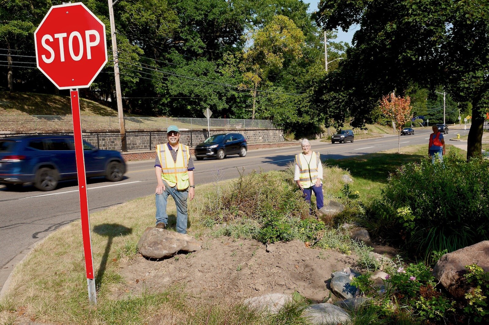
Rob and Claire Milne in their safety vests at their rock garden which has stopped a few wayward cars over the years from going further.
It was another driver who failed to make the slight curve where the Milnes’ street, Grand Avenue, connects with West Main. At that curve, Henderson Park becomes a treeless lawn, separated from traffic by a paved curb.
The curb height makes sense for a speed limit of 35 mph. But simple physics shows that when a large mass is going at a speed faster than 35 mph, that mass will fly over the curb, over the grass, cross Grand Avenue, and finally come to a stop as it collides with the Milnes’ rock garden.
The driver in the August crash told police he swerved to miss a deer. Police asked the Milnes if there were deer in the neighborhood, and Claire was honest — she’s seen a few deer on the streets between them and Kalamazoo College. But not many on West Main.
She’s pretty sure it wasn’t a swerve, it was a straight trajectory.
If we knew the weight of the vehicle we might be able to estimate the speed, because it knocked a large rock, around 250 pounds, 50 feet down towards the neighbors’, and split another boulder-sized stone in two.
Milne points out the fine grain of minerals revealed in the split rock, which looks nice, she says. But the garden of perennials the rocks protected was decimated, now mostly a pit of bare earth.
There’s another rock further down the sidewalk, she points out, from a different crash.
So far no one’s died at their corner. The Milne’s rock garden helps drivers absorb the impacts without death. Vehicles would hit a large tree about 20 feet down the sidewalk if it weren’t there.
“Our rocks that specialize in getting smacked and flying somewhere, we believe have saved people’s lives because they haven’t run into the tree or the house or worse,” Rob says.
Claire adds, “Another thing with the rocks, given the trajectory of where those things are flying, in a sense we’re protecting the people next door to us. This is a young family with a small child, and the disaster of a car crashing into their house would be unbelievable.”
“I defend our rocks!” she says, laughing.
“The only fatality that I know of was further down by the (Kalamazoo College) tennis courts because somebody ran off the road and hit a tree,” Claire says. “That was, gosh, what, five years ago?”
It’s hard to keep track of how many crashes happen in the area.
Neighbor Bess Fitzgerald walked down the sidewalk to chat.
“Oh, we’re very used to it,” Fitzgerald says of the constant stream of noisy speeders a couple of yards away from the interview. “We don’t hear the noise like other people might.
“But we’re often up in the night with sirens, or we’ll hear ‘KABOOM!’ and we’ve just got to come down and see who’s on the curb. We’ve had a motorcycle accident where the man was lying in the road, and we had to pick him up. He was disoriented. He was going to walk out into traffic.”
Safety vests needed
Fitzgerald says she had a hi-vis safety vest she puts on to help crash casualties. Rob Milles says he wears a safety vest when gardening in his front yard.
West Main Hill is a nice, historic old neighborhood. It could be walkable. Many stores and restaurants are nearby up West Main at North Arlington Street. But to get to those, they’d have to walk across West Main.
Fitzgerald has tried that. “I’ve almost been killed and won’t do that again because people are coming so, so fast.”
There used to be a welcome sign to the West Main Hill neighborhood further up the point between West Main and Grand. Last year it was hit. “They took the sign out, it was in a million pieces,” she says.
The neighbors estimate that people miss their curve around three or four times a year.
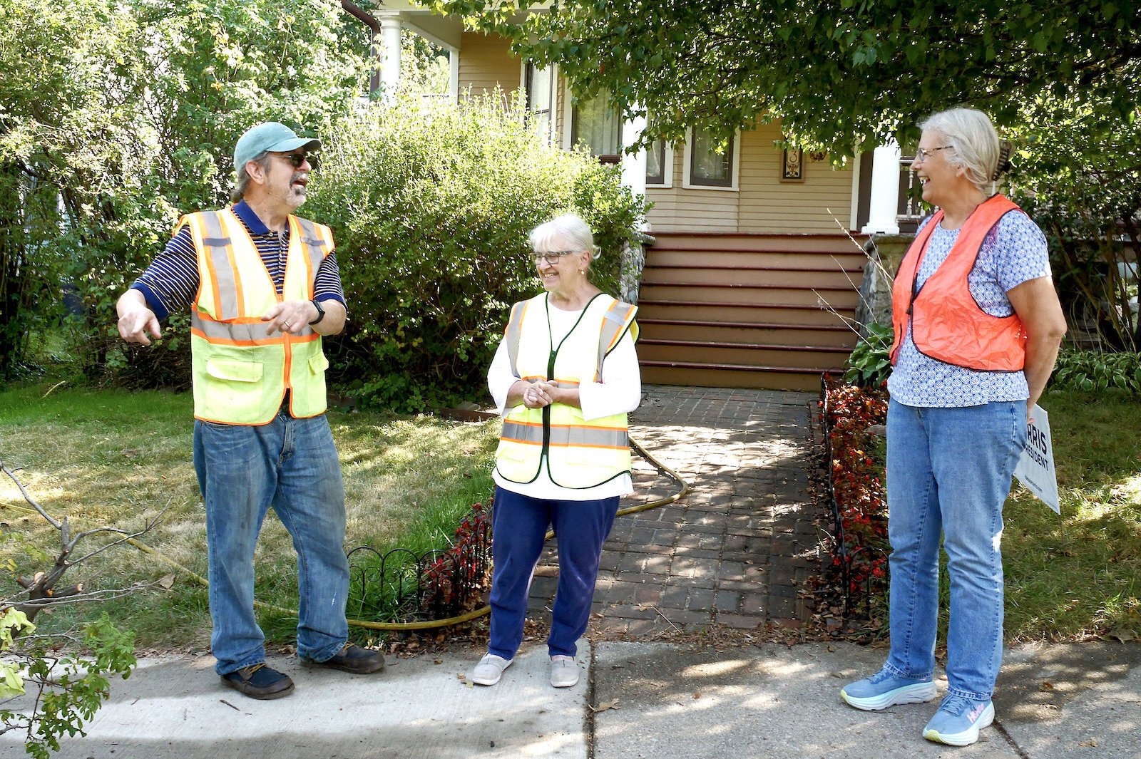
West Main neighbors Rob and Claire Milne (left) and Bess Fitzgerald, all in their safety vests..
Winter can be particularly bad, with slippery conditions working their magic on incautious drivers. Snowbanks form a ramp for such drivers, leading to rollovers.
There are a few arrow signs warning of the curve. Claire Milne and the West Main Hill Neighborhood Association have begged for more. Other suggestions include large flashing signs, or a radar sign showing drivers’ speeds.
Milne thinks a guardrail at the curve would be best — one that’s strong enough to deflect speeding vehicles.
It’s unclear who’d place a guardrail. The City owns Henderson Park, but MDOT has control of West Main at that point. Kalamazoo Parks and Recreation likely doesn’t get involved in placing large pieces of road infrastructure.
The City of Kalamazoo has other plans for the section of West Main under its jurisdiction, as we know.
New flexibility to travel, new neighborhood connections
The Milnes and Fitzgeralds have concerns that changes like the new intersection could cause traffic back-ups. But they also remark on how impossible it is to simply walk around their neighborhood safely, or walk to other nearby neighborhoods.
Kalamazoo City Planner Christina Anderson in an email says that the new intersection’s pedestrian infrastructure will “support pedestrian movements between West Main Hill/Kalamazoo College and the Stuart and Douglas Neighborhood.”
Public Services Director and City Engineer James Baker in an email says, “There will be a traffic signal. It is also important to note that traffic will be permitted to travel northbound (new) on Douglas from West Main Street, eastbound (new) on Kalamazoo Avenue, and westbound (new) on West Main Street from MichiKal.”
In other words, there will be a new flexibility to travel.
Baker continues, “There will be trip and travel connections to the Stuart, Northside, West Douglas, and Fairmont neighborhoods that haven’t existed since 1964. So, unless you were born on or before 1948 this will be a completely different and new way to travel in Kalamazoo.”
Safe travel within the city not just through the city
The City is changing its infrastructure to prioritize travel — by foot, bike, and motor vehicle — within the City, and correcting an emphasis on traffic flow through the city that’d been in place since 1964.
West Main “is a huge barrier to the neighborhood,” as Fitzgerald says. It’s extremely dangerous to cross on foot. There will be big changes to their east, and it won’t be too much of a distant stroll to get to the new Douglas intersection. But there are still no foreseeable changes from their rock garden to the west.
When we bring up the petition plan calling for two lanes of traffic, with a center turn lane, west of Douglas, Fitzgerald says, “I love the idea of anything that could get things going slowly.”
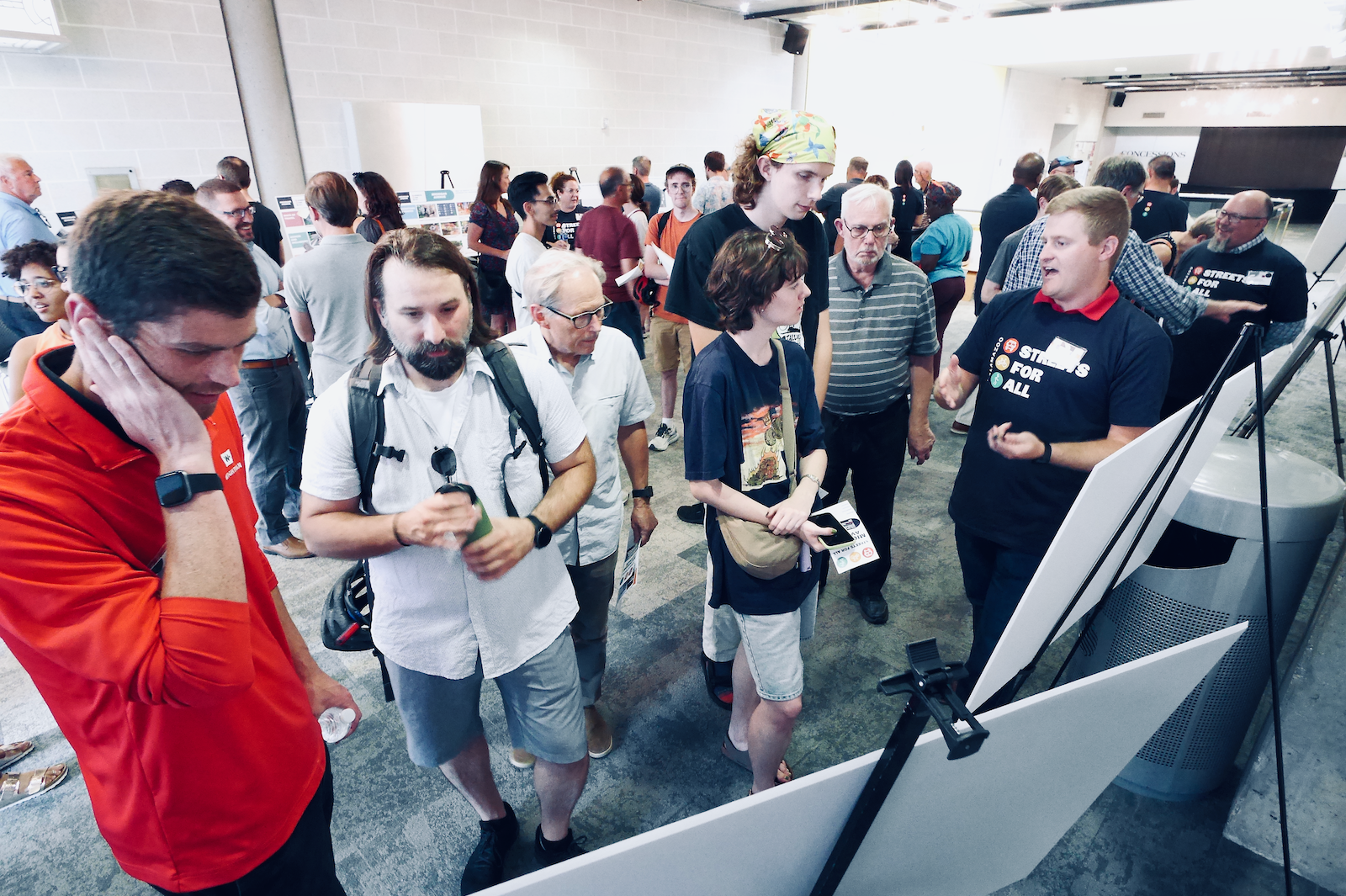
The City of Kalamazoo hosts regular community input sessions on city streets, including West Main.
But “we often wake up to some kind of a lane blockage down the hill, and then things are backed up all the way up.”
Drivers in 2024 have had a lot of frustration thanks to not only downtown’s beginning phase of the two-lane changeover but construction around the new arena and many infrastructure improvements such as the removal of lead pipes and other utility work.
Once the work is done downtown, will traffic flow calmly? Would it be possible to tame West Main as it connects with the City?
The big question is this: Can traffic flow on West Main at its current speed limit of 35 mph?
Fitzgerald and the Milnes wonder if any changes in their neighborhood will happen in their lifetimes. Until then, they’ll keep their hi-vis vests ready.
Another Streets for All meeting to discuss Michigan Avenue road design will be held on Thursday, Jan. 16, 2025.

